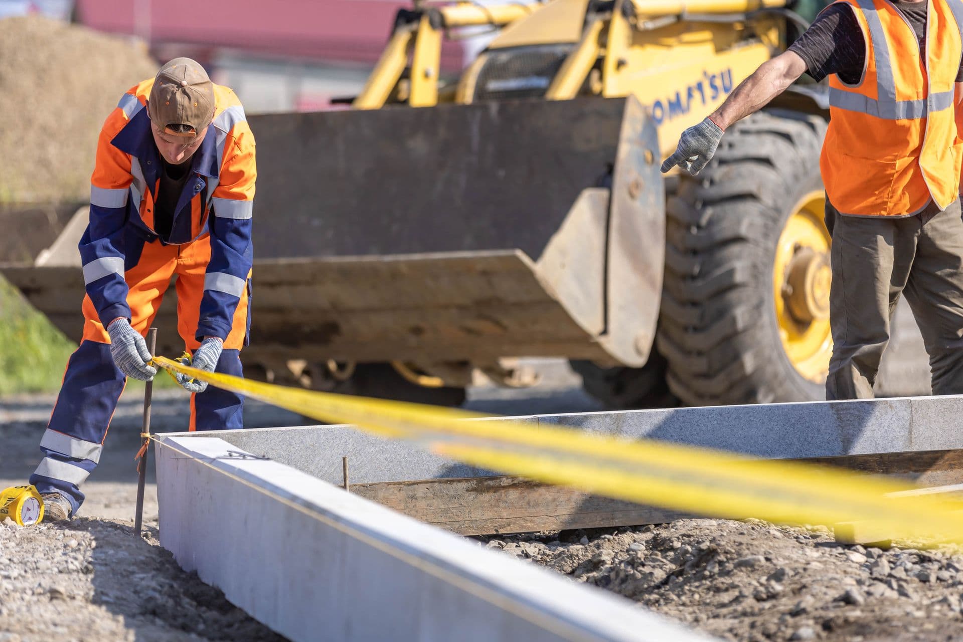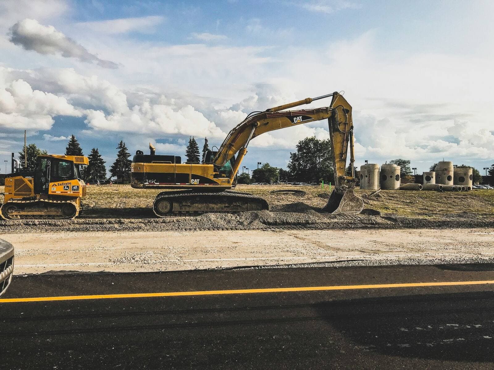
Excavation + Layout
Machine and operator coordinated to layout tolerances.
Learn moreConstruction layout
Satellite-positioned layout for footings, walls, piers and foundations.
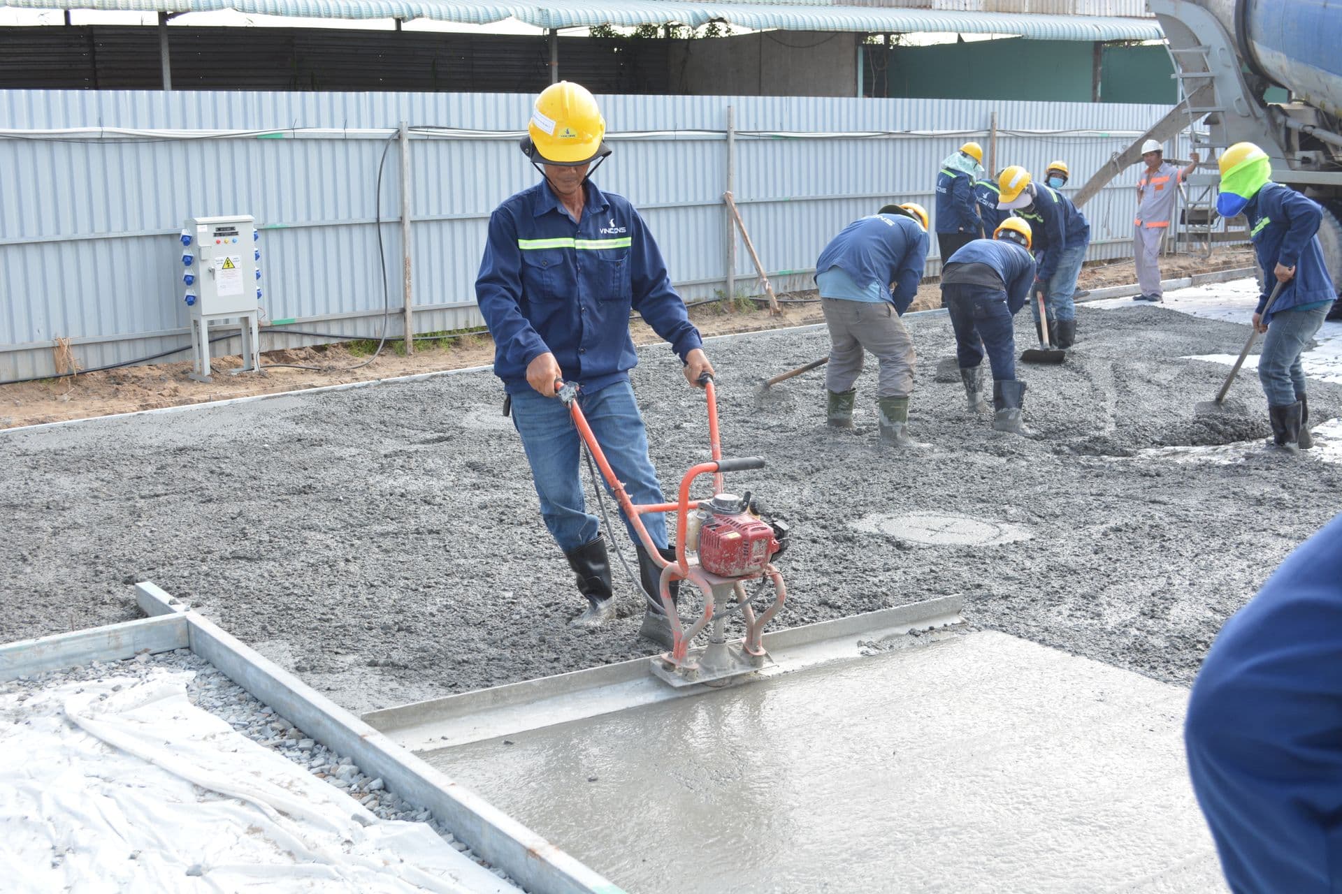
GNSS RTK positions points from satellites in real time, so we can set out a whole foundation footprint quickly without the line-of-sight constraints of an instrument. It is the fastest way to lay out footings, grid lines, walls, piers and pile caps across an open site.
We work directly from your issued-for-construction model, mark control and offsets your crew can build to, and stay on site to keep layout ahead of the pour.
Layout services do not replace licensed surveying. For construction use only.
Common questions
Have drawings and a pour date?
Send the IFC set and your schedule — we’ll come back with scope, timing and a quote.